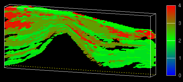
Figure 13.4: This block maps shows sevseal features of block. This map was drawn with a limited data range; the volume above the ground surface, the basalt anticline underlying the aquifer, and the inter-unit clays and muds were not drawn. This left only the gravel (blue), sandy-gravel (brown), and sand (green) to be drawn.