|
Back to Summary
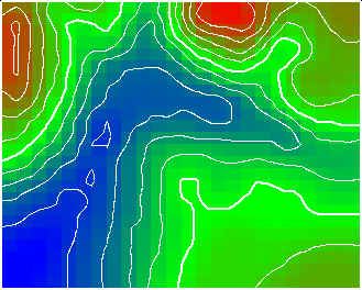
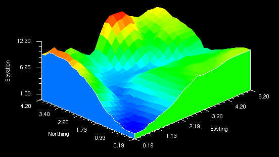
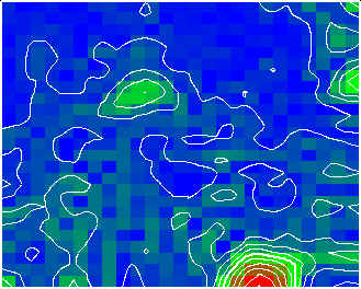
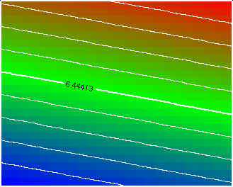
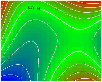
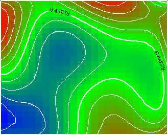
Grid: The Grid module interpolates parameter values at locations were there are no physical data. This is done using various interpolation algorithms (inverse-distance, kriging, trend-surface analysis) based on irregularly spaced data. Sometimes it is of interest to estimate what is occurring between data locations. For other applications, for convenience, or for clarity, irregularly spaced data must be interpolated onto a regular grid to be useful. For example contour, surface, and block require that the data being viewed be gridded with a rectangular pattern. These programs then allow the user to visually view the interpolated estimate of the field data. Grid is used to interpolate values at locations of convenient based on field data. Within grid there are several gridding algorithms; inverse-distance, simple and ordinary kriging method, and trend-surface analysis. Inverse-distance is a relatively simple method which estimates the value of a location based on the distance and value of surrounding points. Kriging does much the same thing as inverse-distance, except kriging also considers spatial statistics describing how the field data varies directionally. Kriging is often referred to a the best unbiased estimator to estimate a value for a given location. Trend-surface analysis is basically a least-squares regression technique which assumes a data value is a function of a "regional" trend and minor "local" variations. The calculated trend-surface attempts to model the "regional" component.
| ||||||||||||||||||

